

ADAMS Aircrew Dynamic Airport Moving Map System
An airport moving map with full information related to aircraft operation within the airport (no ATC functionality).
Read More
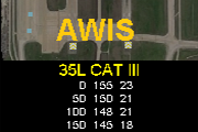
AWIS Aerodrome Weather Sharing
displays a map with winds and gusts on final approach, holding stack or initial climb that was collected by previous flight(s).
Read More
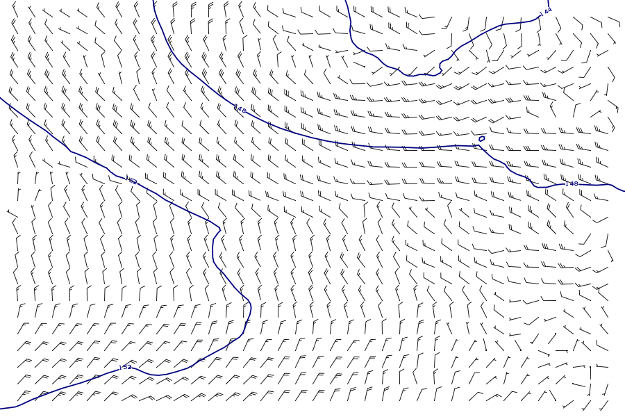
GAWM Global Airborne Weather Maps
Provides pilots with updated weather maps during flight for almost anywhere in the world as they are updated.
Read More

AFDT Airborne Flight Data Transmitter
Sends flight data, cockpit audio and pilot voice to ground-based retention service via A/G communication
(built on the ADR -aviation data recorder service).
Read More
(built on the ADR -aviation data recorder service).

AAECS Automated Airport Emergency Coordinating System
Enables relevant stakeholders to efficiently coordinate and collaborate during an aircraft emergency.
Read More